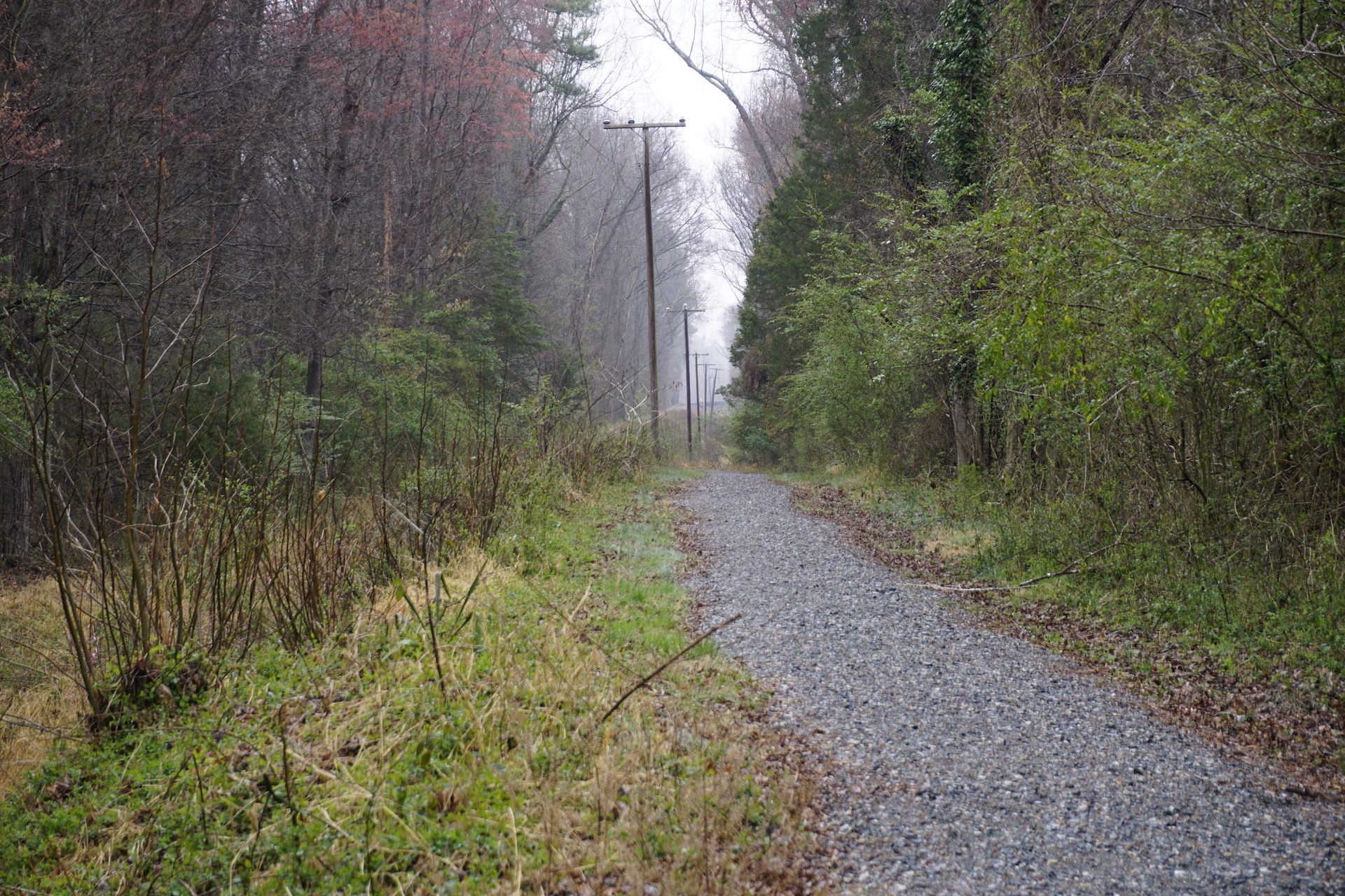
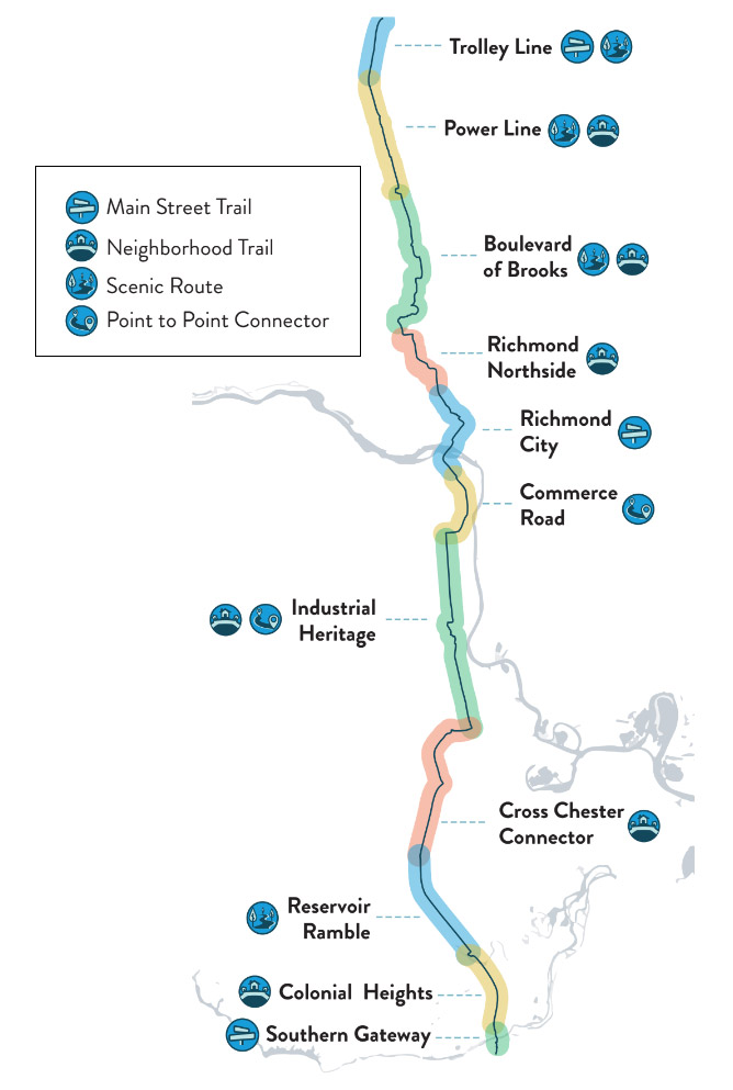
The Fall Line Vision Plan, developed in 2023 by Sports Backers and Toole Design and released in 2024, is a stakeholder-informed conceptual vision for placemaking, community connections, and trailside amenities and development. Trail experiences for all users improve with more to do, more to see, and more places to go along the way, and the Vision Plan is a living document of shared recommendations to encourage community and private partners to add trail-oriented development along the Fall Line.
Historic and Geologic Significance
The fall line denotes the area where the Piedmont plateau and Atlantic Coastal Plain meet, covering roughly 900 linear miles along the eastern seaboard and creating a unique geological area characterized by dramatic elevation transitions, waterfalls, and rapids.
Communities Along the Fall Line
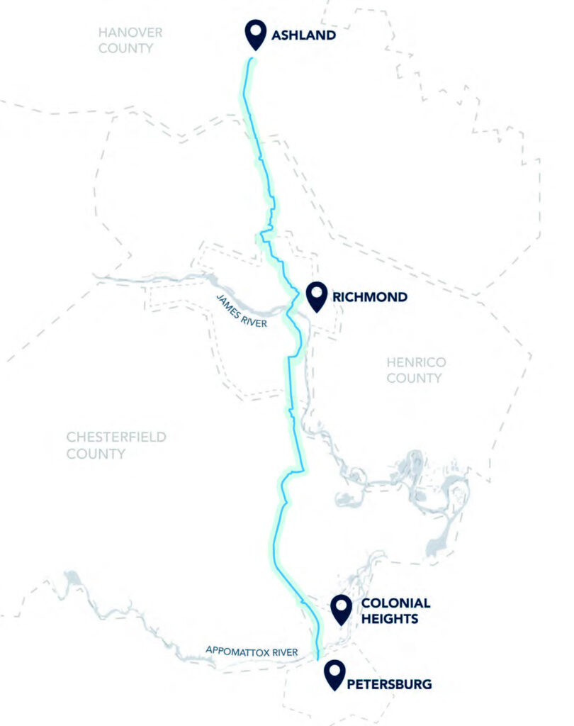
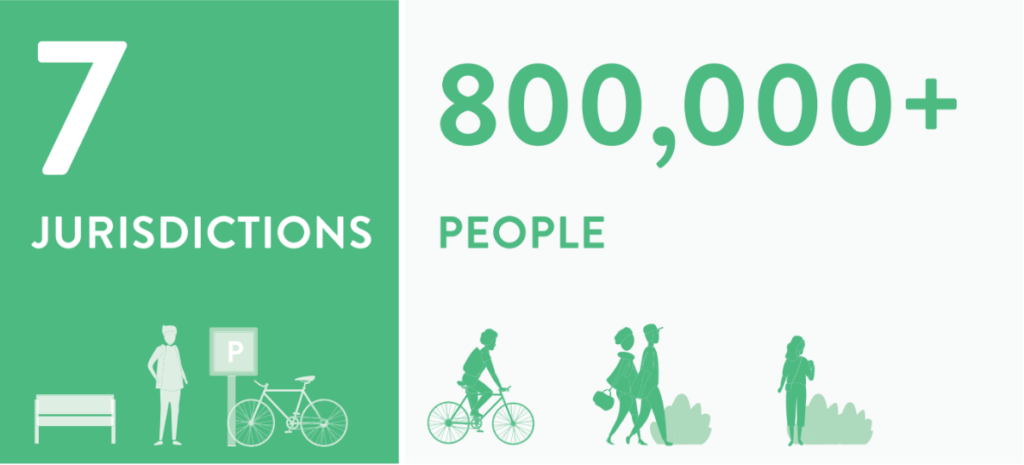
The Fall Line trail passes through seven Virginia localities: the Town of Ashland, Hanover County, Henrico County, the City of Richmond, Chesterfield County, the City of Colonial Heights, and the City of Petersburg.
Trail Inspiration & Model Trails
Indianapolis Cultural Trail
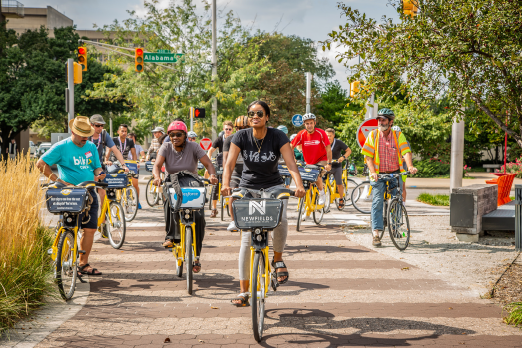
The Indianapolis Cultural Trail is an 8.1-mile-long urban trail that connects five cultural districts in downtown Indianapolis. It comprises of a central loop with distinct cultural districts throughout the city. Since opening in 2008, it has become a notable landmark, attracting community programming, public art, and events in addition to regular usage by locals and tourists alike.
The Indianapolis Cultural Trail created efficient community connections and a signature sense of place. It is an essential proof of concept that building high-quality trails directly through a community’s downtown is worth the investment.
Swamp Rabbit Trail
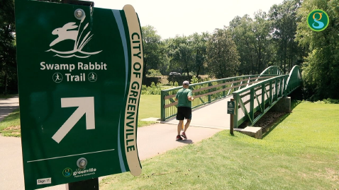
The Swamp Rabbit Trail is a 22-mile walking and bicycling path that links the cities of Travelers Rest and Greenville in South Carolina. It follows the path of an old rail corridor, a river, and local parks to provide residents and visitors opportunities to play, explore, and connect with the regional community.
A primary benefit of the Swamp Rabbit Trail is the interconnected network of public amenities that it creates.
Minneapolis Midtown Greenway
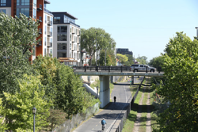
The Minneapolis Midtown Greenway is a 5.5-mile trail in south Minneapolis that runs along an old corridor. Used by both people on foot and on bicycles, this greenway provides a protected transportation and recreation option to a diverse cross section of the Minneapolis community.
It serves as an important connector, linking to paths around the Minneapolis Chain of Lakes Regional Park and the Southwest LRT trail while simultaneously making local destinations more accessible.
Razorback Regional Greenway
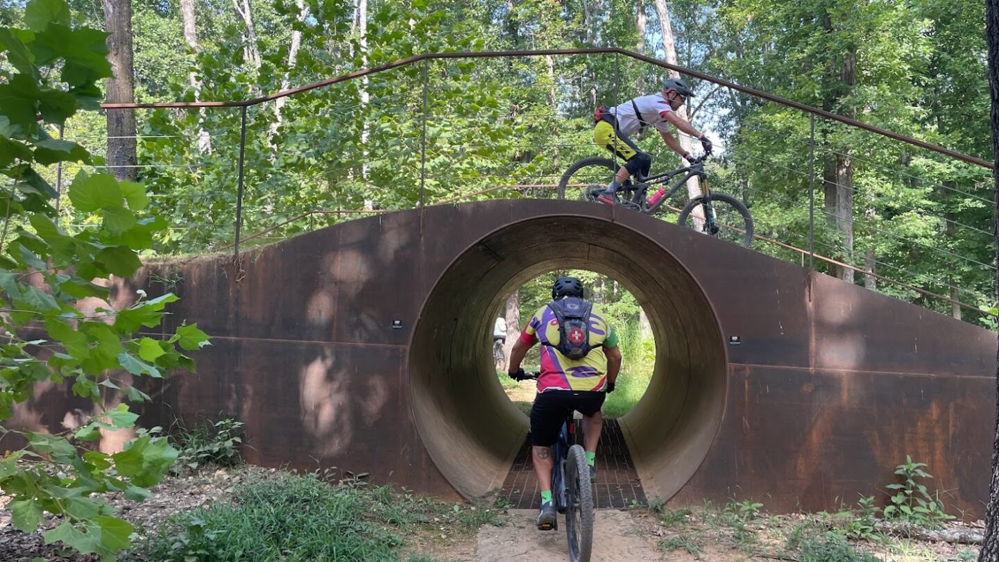
The 40-mile Razorback Regional Greenway is perhaps the most direct analogue to the Fall Line. Designed to serve as a transportation backbone to connect seven localities from Bentonville to Fayetteville, it has flourished as a foundation for placemaking and community connections. The trail bridges art museums and botanical gardens to hundreds of miles of mountain bike trails, with innumerable restaurant and residential districts between. This trail community shows what is possible when the trail’s primary goal is to create the highest quality of life possible for residents and visitors through a highly-curated and vibrant corridor-wide place.
